
Bengaluru, India: The Bangalore Metro Rail Corporation Limited (BMRCL) is planning a 72-km-long metro corridor with over 50 stations, which is set to become the longest single line in the Namma Metro network. The proposed corridor aims to significantly improve connectivity across Bengaluru’s rapidly expanding southern and eastern regions.
The project is part of the city’s long-term metro expansion strategy, as Bengaluru continues to scale its urban transport infrastructure to meet growing demand.
Key Highlights of Bengaluru’s Longest Metro Line
- Proposed length of approximately 72 km
- More than 50 stations planned along the route
- Likely to be the longest corridor in the Namma Metro network
- Will connect major residential and IT growth corridors
- Includes a planned spur link to a sports complex
The scale of the project reflects the increasing focus on expanding metro connectivity beyond central Bengaluru.
Route Alignment and Connectivity
The proposed metro line is expected to pass through several key areas across south and east Bengaluru, including:
- Bannerghatta Road
- Jigani and Attibele
- Sarjapur Road
- Dommasandra Circle
- Varthur and surrounding areas
These corridors are among the fastest-growing residential and commercial zones in the city, particularly due to their proximity to IT hubs and industrial clusters.
The project also includes a spur line that will connect to a proposed sports complex near Anekal, further enhancing connectivity to emerging infrastructure zones.
Project Scope and Design
The proposed 72-km line is expected to include a mix of elevated and underground sections, depending on urban density and land availability.
Initial plans indicate:
- Around 68 km main corridor
- Additional spur extension of 3–4 km
- Stations spaced across both urban and semi-urban zones
The design aims to balance accessibility with travel efficiency, particularly in less dense suburban areas.
Strategic Importance for Bengaluru
The new metro line is expected to play a key role in addressing Bengaluru’s long-standing traffic congestion challenges.
The city’s metro network currently spans around 96 km, with multiple lines under expansion.
With further additions planned under future phases, Bengaluru is targeting a much larger transit network in the coming years, improving connectivity across peripheral areas.
This proposed corridor will help bridge connectivity gaps between emerging residential zones and established employment hubs.
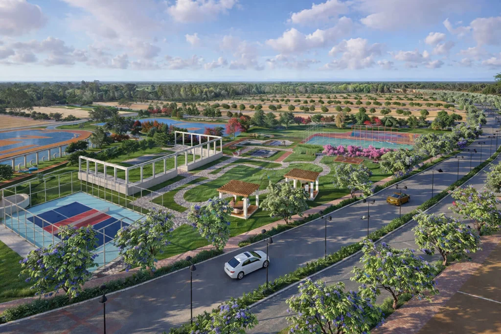
Impact on Real Estate and Urban Development
Infrastructure projects of this scale typically have a direct impact on surrounding real estate markets.
The proposed metro corridor is expected to:
- Improve accessibility in suburban areas
- Increase residential demand along the route
- Support development of new housing and commercial hubs
- Enhance property values in connected micro-markets
Areas like Sarjapur, Bannerghatta, and Attibele have already seen rising real estate activity, and improved metro connectivity is likely to accelerate this trend.
Current Status and Next Steps
The project is currently in the planning and proposal stage, with feasibility studies and route alignments under evaluation.
Next steps are expected to include:
- Detailed project reports (DPR) finalization
- Government approvals
- Budget allocation and funding mechanisms
- Phased implementation strategy
Timelines for execution will depend on approvals and funding decisions.
What This Means for Commuters
Once completed, the corridor is expected to:
- Reduce travel time across key routes
- Provide direct connectivity between IT hubs and residential zones
- Decongest major arterial roads
- Improve overall urban mobility
Metro expansion remains one of the most critical solutions for Bengaluru’s transport challenges.
Frequently Asked Questions (FAQs)
1. What is the length of the proposed metro line?
The proposed metro corridor is approximately 72 km long.
2. How many stations are planned?
The line is expected to include more than 50 stations.
3. Which areas will it connect?
The corridor will connect areas like Bannerghatta, Sarjapur, Attibele, and Varthur.
4. What is the current status of the project?
The project is in the planning stage with feasibility and alignment studies underway.
Conclusion
The proposed 72-km metro corridor represents a major step in Bengaluru’s long-term mobility planning. By connecting key growth corridors and expanding metro access to suburban areas, the project is expected to play a crucial role in shaping the city’s future transport and real estate landscape.
Also Read: Bengaluru Metro Phase 4 Plans Unveiled: New Lines and Extensions Proposed